Weather 8 min read

Clouds, from Stratus to Cumulonimbus

The ten official cloud genera, what each one means for your flight — and the METAR codes (CB, TCU, BKN, OVC…) that tell you where they are.

Meteorology knows ten cloud genera — the WMO International Cloud Atlas defines them, and every cloud you see belongs to exactly one. For flying, three questions matter: how low is the base, how much of the sky is covered, and is anything convective in the area. The first two decide vs ; the third decides whether you fly at all.

The three levels

The troposphere is split into three height bands — the étages. Their boundaries shift with latitude; these are the temperate-region values:

  • Low — surface to ~6,500 ft : Stratus, Stratocumulus, Cumulus, Cumulonimbus
  • Middle — ~6,500 to 23,000 ft : Altocumulus, Altostratus, Nimbostratus
  • High — ~16,500 to 45,000 ft : Cirrus, Cirrocumulus, Cirrostratus

Cumulus and Cumulonimbus break the pattern: their bases sit in the low level, but the tops can punch through all three.

Stratus (St)

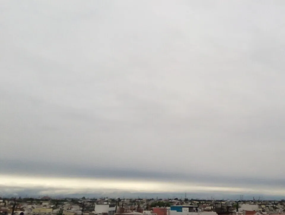
A flat grey layer, often close to the ground. The classic "can't see the runway" cloud: light drizzle at most, but it can sit at 200 ft and shut down VFR entirely.

Stratus cloud cover
A solid stratus layer — featureless grey from horizon to horizon. Photo: Rollcloud, CC BY 4.0, via Wikimedia Commons

Stratocumulus (Sc)

Lumpy grey-white layer in patches or rolls. Usually harmless: a , some light turbulence, light icing in winter.

Stratocumulus from above
Stratocumulus fields over the Pacific, seen from the ISS — the same lumpy deck you cruise over at FL200. Photo: NASA, public domain

Cumulus (Cu)

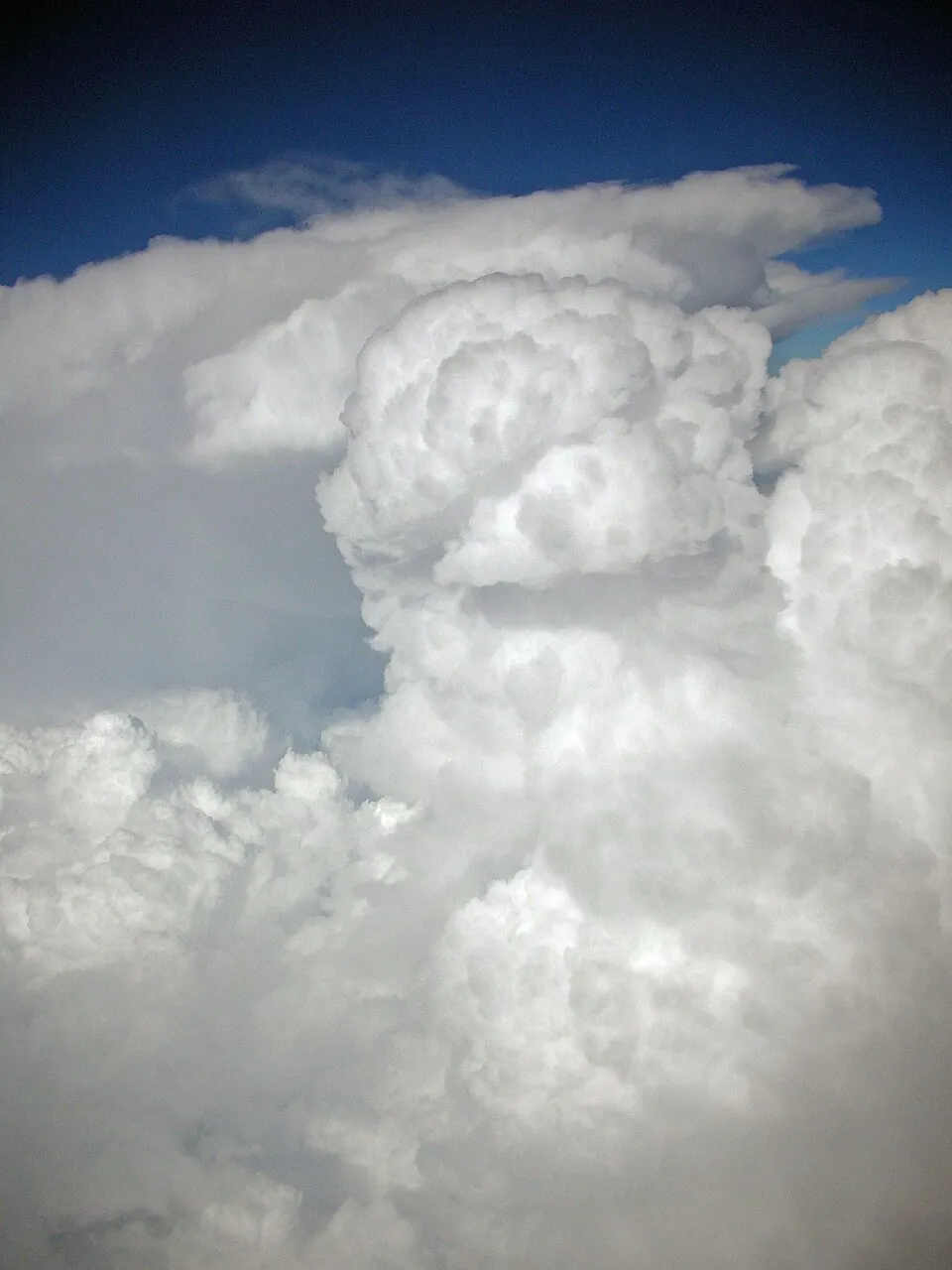
Puffy white heaps with flat bases. Fair-weather cumulus (humilis) just means a nice day. Watch them grow: a cumulus getting taller than it is wide is becoming cumulus congestus — reported as — and the next step after that is a thunderstorm.

Fair-weather cumulus
Cumulus humilis — small heaps, flat bases, good weather. Photo: William Crochot, CC BY-SA 4.0, via Wikimedia Commons
Towering cumulus
Cumulus congestus seen from an airliner, with a cumulonimbus calvus behind it — this is TCU in a METAR. Photo: Albaum, public domain

Altocumulus (Ac)

White-grey patches in bands or fields, often in waves. Mostly benign; in summer, towering altocumulus (castellanus, seen as ACC in some reports) in the morning can hint at afternoon thunderstorms.

Altocumulus field
Altocumulus patches over Sweden — small, mid-level heaps in rows. Photo: W.carter, CC BY-SA 4.0, via Wikimedia Commons

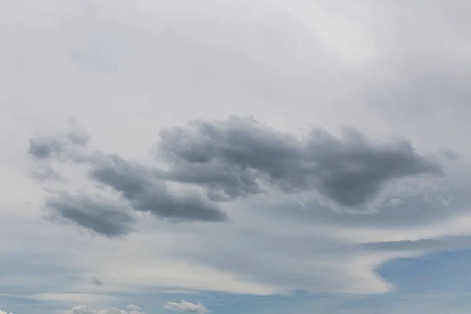
Altostratus (As)

A featureless grey sheet covering the sky, sun barely visible through it. It usually announces an approaching front — expect it to thicken into Nimbostratus.

Altostratus sheet
Altostratus at sunrise — a uniform veil with the sun washed out behind it. Photo: John Robert McPherson, CC BY-SA 4.0, via Wikimedia Commons

Nimbostratus (Ns)

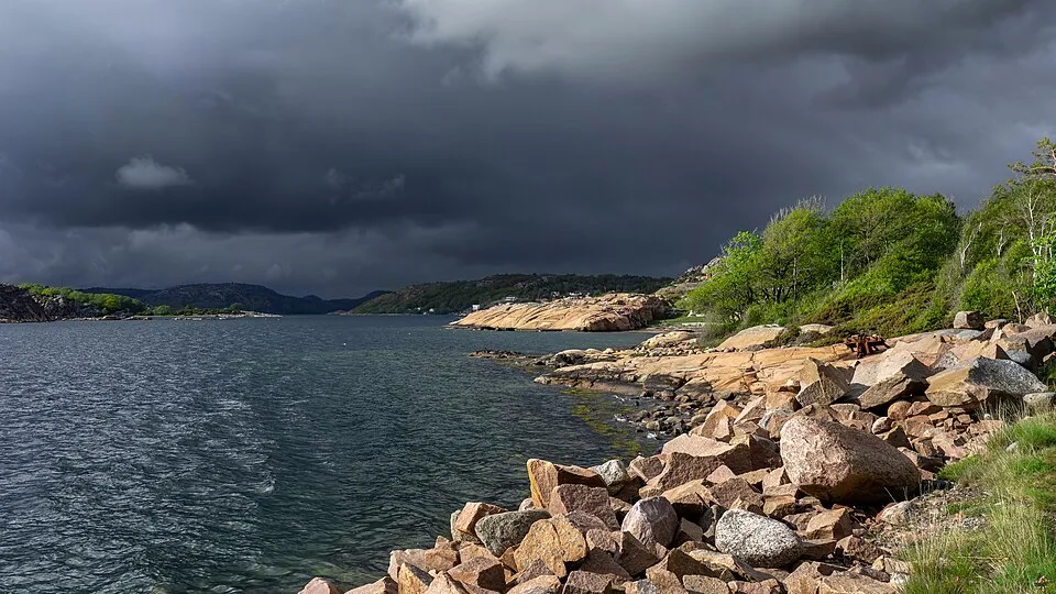
Dark, low-hanging rain layer. Steady rain or snow for hours, poor visibility underneath, and moderate icing inside. The cloud of long IFR days — and it can hide embedded cumulonimbus.

Nimbostratus rain layer
Dark rain clouds over Sweden — this is the ceiling you fly an approach into. Photo: W.carter, CC BY-SA 4.0, via Wikimedia Commons

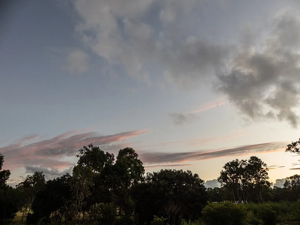
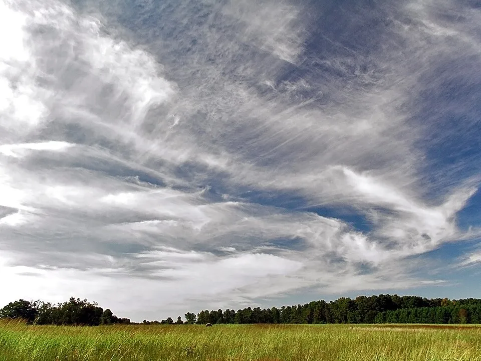
Cirrus (Ci)

Thin white streaks of ice crystals, well above the of a Cessna. A thickening veil of cirrus often precedes a warm front — tomorrow's weather arriving early.

Cirrus streaks
Cirrus — ice-crystal streaks in the high sky. Photo: PiccoloNamek, CC BY-SA 3.0, via Wikimedia Commons

Cirrocumulus (Cc) and Cirrostratus (Cs)
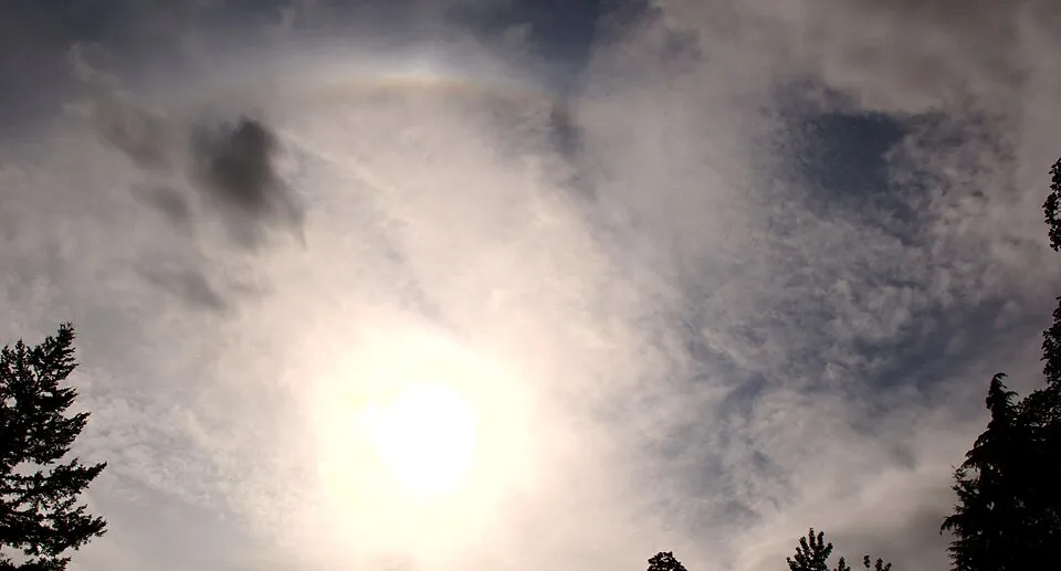
Cirrocumulus is the small white ripples or grains — the "mackerel sky". Cirrostratus is the transparent ice sheet covering everything, known for producing a 22° halo around the sun or moon. Both signal high-level moisture, and a thickening cirrostratus often means a front is on the way.

Halo in cirrostratus and cirrocumulus
A 22° halo — the signature of cirrostratus, with cirrocumulus ripples in the same frame. Photo: The High Fin Sperm Whale, CC BY-SA 3.0, via Wikimedia Commons

Cumulonimbus — the one that ends flights
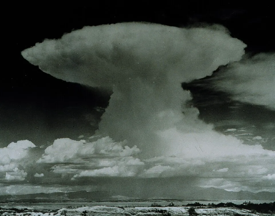
Cumulonimbus () is the only cloud that is an emergency all by itself: the towering anvil-topped cell that contains a thunderstorm — lightning, hail, severe icing, extreme turbulence, microbursts and wind shear in one package. Tops can reach 60,000 ft in the tropics — you cannot climb over a mature CB in anything you fly in the sim.

Cumulonimbus anvil
A mature cumulonimbus with its anvil spreading at the tropopause. Photo: NOAA, public domain

The rule is simple: never penetrate a CB, go around it . Give it a wide berth — turbulence and hail exist well outside the visible cloud, and windshear sits beneath it. When CBs are embedded inside a Nimbostratus layer (EMBD TS in a ), you cannot see them at all — that is what airborne weather radar is for.

What the METAR actually tells you

A METAR does not name most clouds. It reports coverage and base height — the type only gets named for the two that matter most.

  • Coverage in (eighths of sky): FEW 1–2, SCT 3–4, BKN 5–7, OVC 8.
  • Height in hundreds of feet above the airport , rounded down: `BKN016` = broken layer, base 1,600 ft .
  • Only two cloud types are ever named : `SCT025CB` = scattered cumulonimbus at 2,500 ft; `FEW040TCU` = few towering cumulus at 4,000 ft. Everything else — cirrus, stratus, nimbostratus — appears as plain coverage.
  • Up to three cloud groups, lowest first: the lowest layer of any amount, then the next above 2 oktas, then the next above 4 oktas.
  • The first BKN or OVC layer is the ceiling — the number that decides whether VFR is possible.
  • — no significant cloud (nothing below 5,000 ft — or the highest minimum sector altitude, whichever is higher — and no CB/TCU). US reports use SKC (manual station) or CLR (automated, nothing below 12,000 ft); some automated stations report NCD — no cloud detected.
  • VV005 — vertical visibility 500 ft: the sky is totally obscured (fog, heavy snow) and no cloud base can be measured at all.